ARIZONA ROUTE 66 IN ORDER FROM EAST TO WEST
Lupton – Houck – Sanders – Chambers – Petrified Forest / Painted Desert – Holbrook – Joseph City – Winslow – Meteor City – Meteor Crater – Winona – Flagstaff – Bellemont – Williams – Ash Fork – Seligman – Grand Canyon Caverns – Peach Springs – Truxton – Crozier – Valentine – Hackberry – Antares – Kingman – Golden Valley – Oatman – Golden Shores – Topock

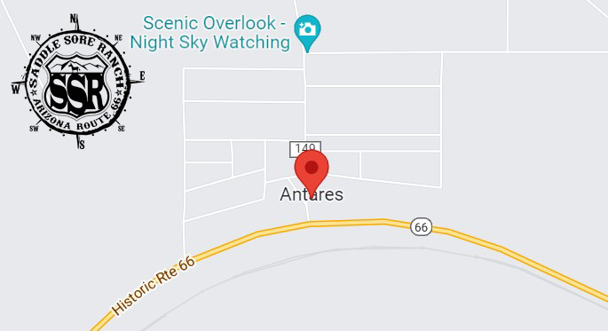
The village of Antares began as a railroad siding. The Atlantic and Pacific Railroad was laying tracks through the area in 1883 and had to reroute around the Peacock Mountains, diverting south of the mountains to the easier gradient through nearby Hackberry; when continuing west, the gradient was lower in the Hualapai Valley 6 miles (10 km) to the north of Hackberry, where Antares now lies. The railroad thus took a large curve to travel through this point down into Kingman. The siding built on the curve became incorporated as Antares after the National Old Trails Highway was constructed in 1910, following the railroad in this part of Arizona; when Route 66 was built in 1926 it also ran parallel to the railroad. Antares was first recorded as a “town and railroad station” in the United States Geological Survey of 1923.
There are over 6,000 mining claims in and around Antares, of which 5,566 are closed. There are 213 identifiable mines in the area, which primarily dug for copper, gold, lead, and silver. (source: Wikipedia)

Proceeds from our gift shop help with the expenses of maintaining the website. Thank you for taking the time to look around.

***Links provided on this site to Chambers Of Commerce, Route 66 Historical Associations, Visitor Centers, Points Of Interests, etc are provided for your reference and convenience only. They are not affiliated with this site in any way, unless otherwise noted. This site is independently owned, operated and funded as a community service by Rob Borden, the Saddle Sore Ranch, and thru any donations we receive. Donations can be made via PayPal to LiveFromSSR@gmail.com or via Venmo to @SaddleSoreRanch


Click the map image below to open Google Maps of this area.